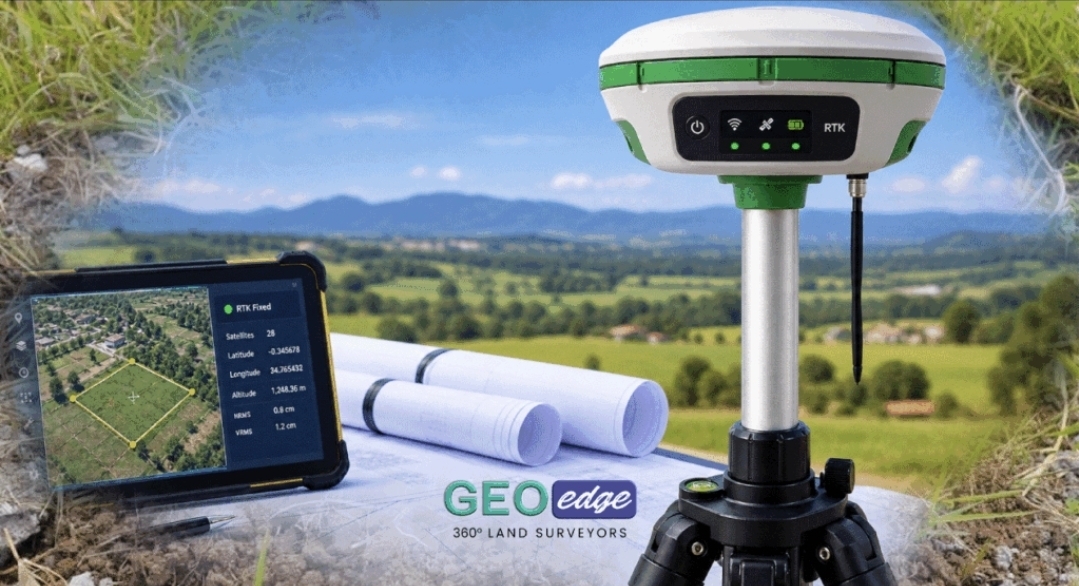
GIS MAPPING FOR INFRASTRUCTURE AND SPATIAL PLANNING
Professional Geospatial Solutions for Infrastructure and Development
GeoEdge Land Surveyors | GIS Mapping and Spatial Data for Infrastructure Projects
Infrastructure planning increasingly relies on accurate geographic information to understand locations, analyse spatial relationships, and organise data about physical assets.
GIS mapping offers...
Professional Geospatial Solutions for Infrastructure and Development
GeoEdge Land Surveyors | GIS Mapping and Spatial Data for Infrastructure Projects
Infrastructure planning increasingly relies on accurate geographic information to understand locations, analyse spatial relationships, and organise data about physical assets.
GIS mapping offers...